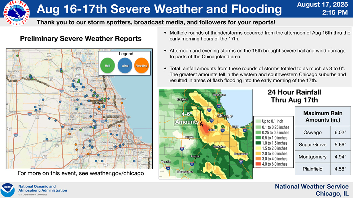
Trump administration again rejects Illinois’ request for disaster aid from August storm
The agency said supplemental assistance from the federal government wasn’t warranted.


The agency said supplemental assistance from the federal government wasn’t warranted.
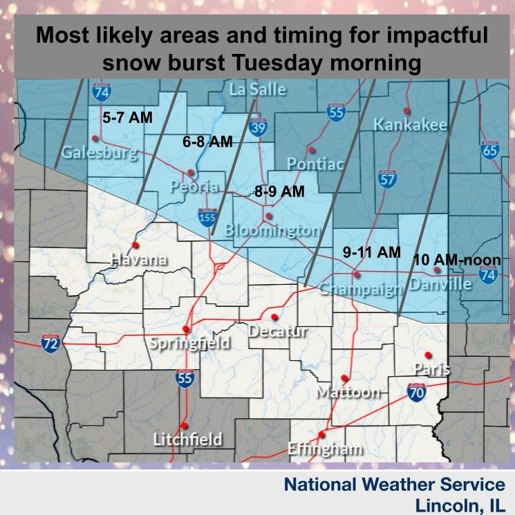
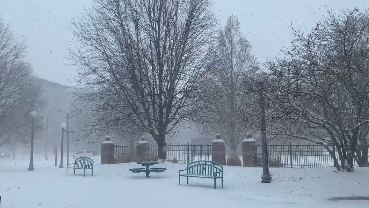
Snow will continue across central and southeast IL this morning, with periods of heavy snow near and south of I-70 in southeast IL. North winds gusting 20 to 30 mph will create blowing and drifting in open areas.
There will be a 30-50% chance of at least minor impacts from lake effect snow tonight into Monday morning over portions of Champaign and Vermilion Counties.
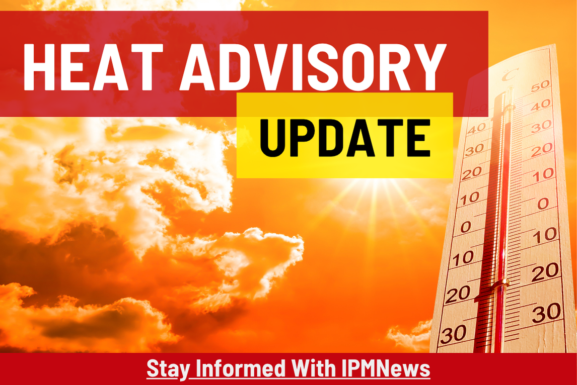
The National Weather Service advises residents to keep hydrated, take frequent breaks in the shade and air conditioning, wear light clothing, and avoid outdoor activities from 10 a.m.-6 p.m.
Starting on Independence Day, the National Weather Service predicts temperatures to reach a peak of 94 degrees with increased humidity.
National Weather Service offices across the country are suspending or reducing weather balloon flights due to low staffing. Meteorologists say the loss of data could lead to forecasting challenges and less accurate long-term outlooks.
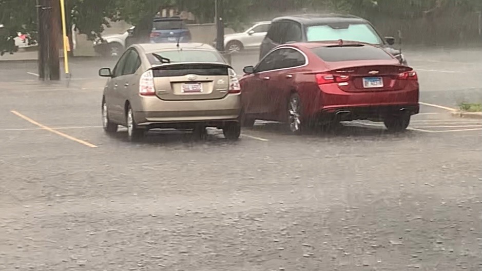
A flood watch is in effect through Sunday morning for portions of central and east central Illinois, including Shelby, Coles, Douglas, Edgar and Moultrie Counties.
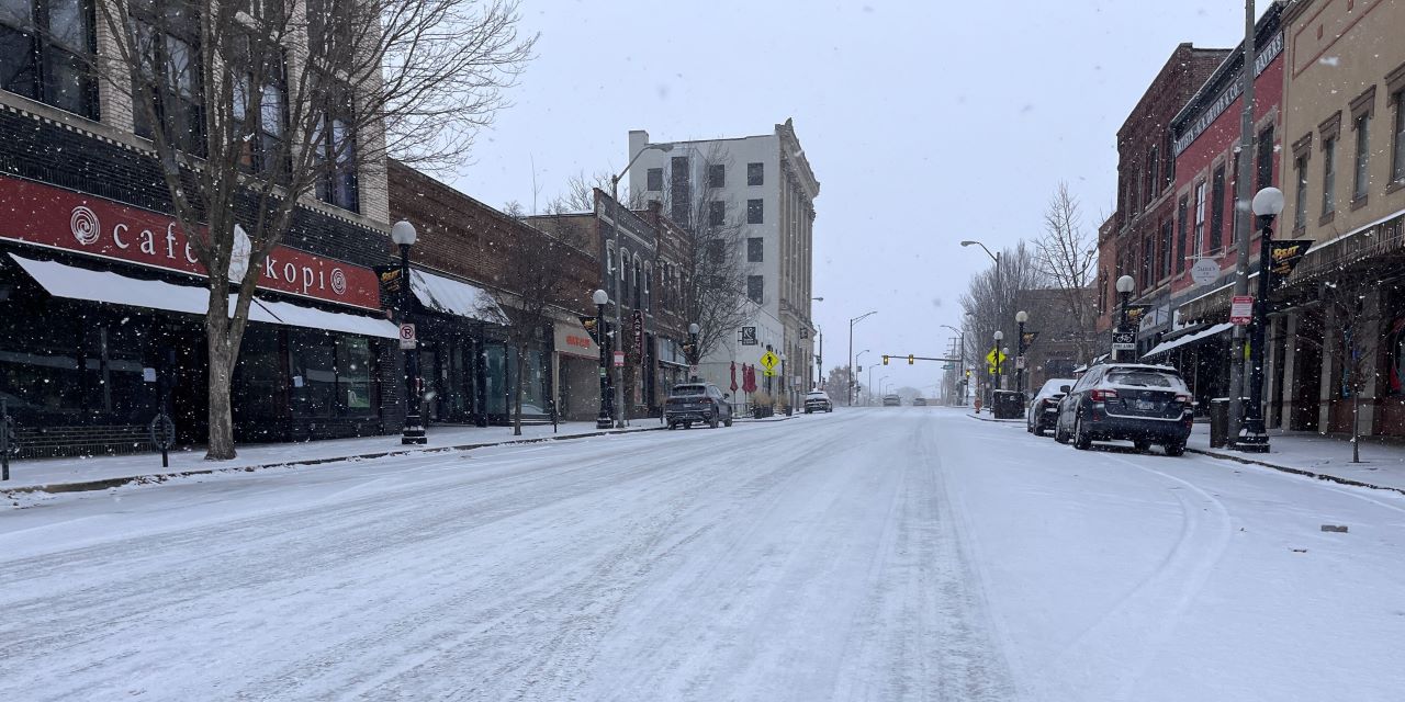
Heavy snow accumulation of six inches or more is possible through Monday morning.
The National Weather Service has issued a wind advisory for Peoria, Champaign, Danville, and several other cities across central and southern Illinois. 1-2 inches of snow is possible as well.
Illinoisans are catching a little break from the extreme heat seen earlier this week with temperatures soaring to the 100’s. An Excessive Heat Warning was in effect Tuesday 11am-8pm causing the Danville Consolidated School District to transition to an E-learning day and all outdoor programming sponsored by the Champaign Park District was cancelled. However,
Freeze Warning: Sunday 10pm-Monday 8am
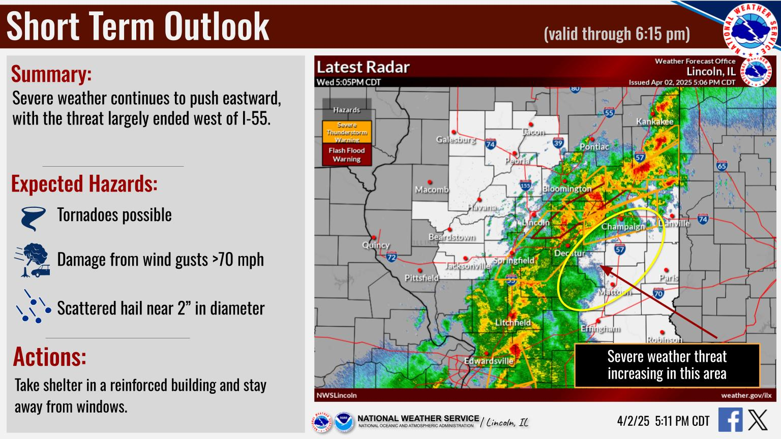
The National Weather Service in Central Illinois has issued a Tornado Watch for Champaign, Coles, Douglas, Macon, Moultrie, Piatt, and Vermilion Counties until 6:00 p.m. CST. We will update this post with forecast updates. A tornado watch has been issued for parts of Illinois, Kentucky and Missouri until 6 PM CST pic.twitter.com/4C8urqvwwT — NWS Lincoln
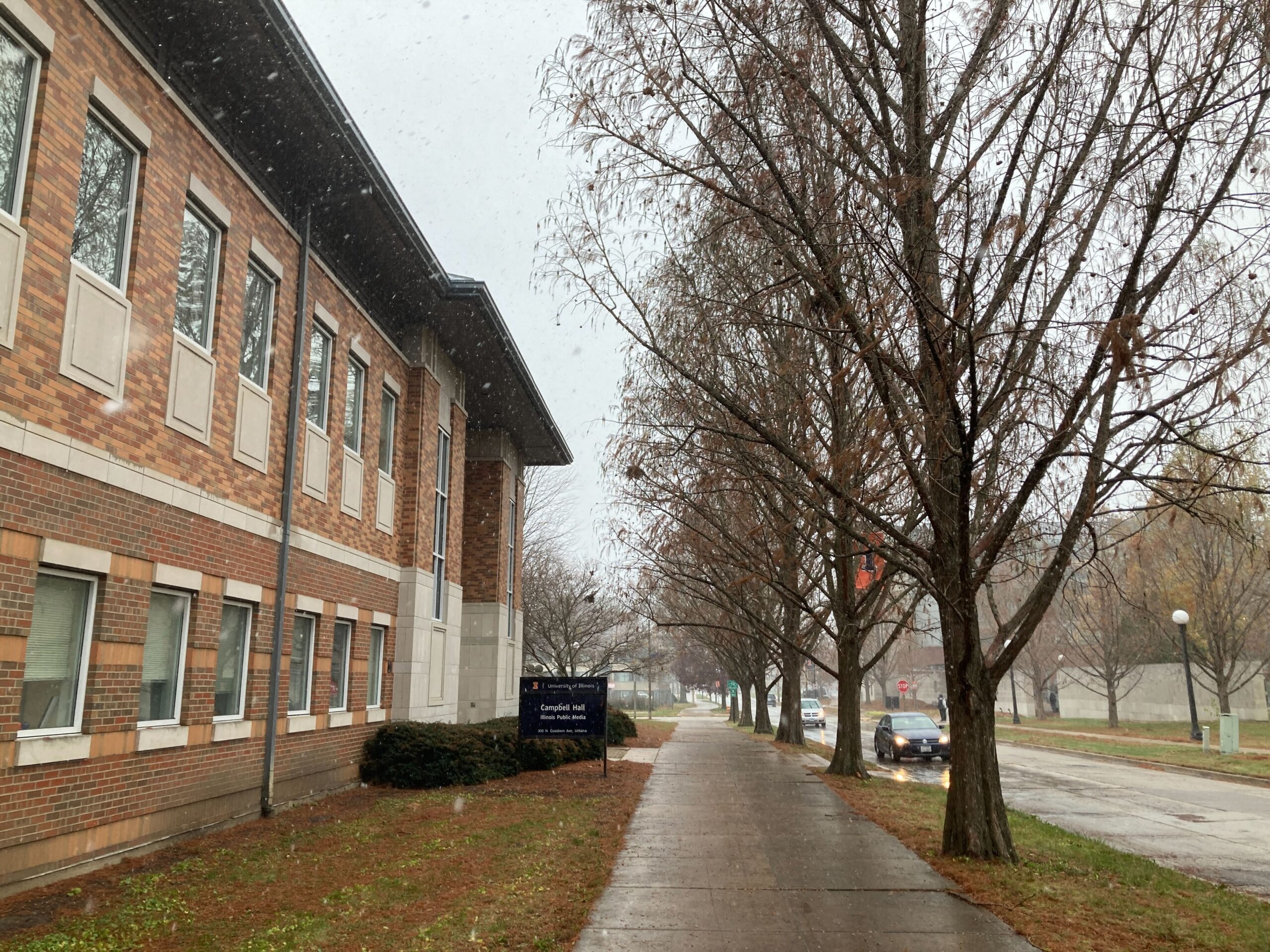
Illinois Public Media is tracking a winter storm system. Forecasters expect it to bring blowing snow and dangerously cold temperatures to Central Illinois on December 22 and 23. This story will be updated with posts from Chambana Weather meteorologist Andrew Pritchard and the National Weather Service. Closings and cancellations are being updated here. Updated Friday
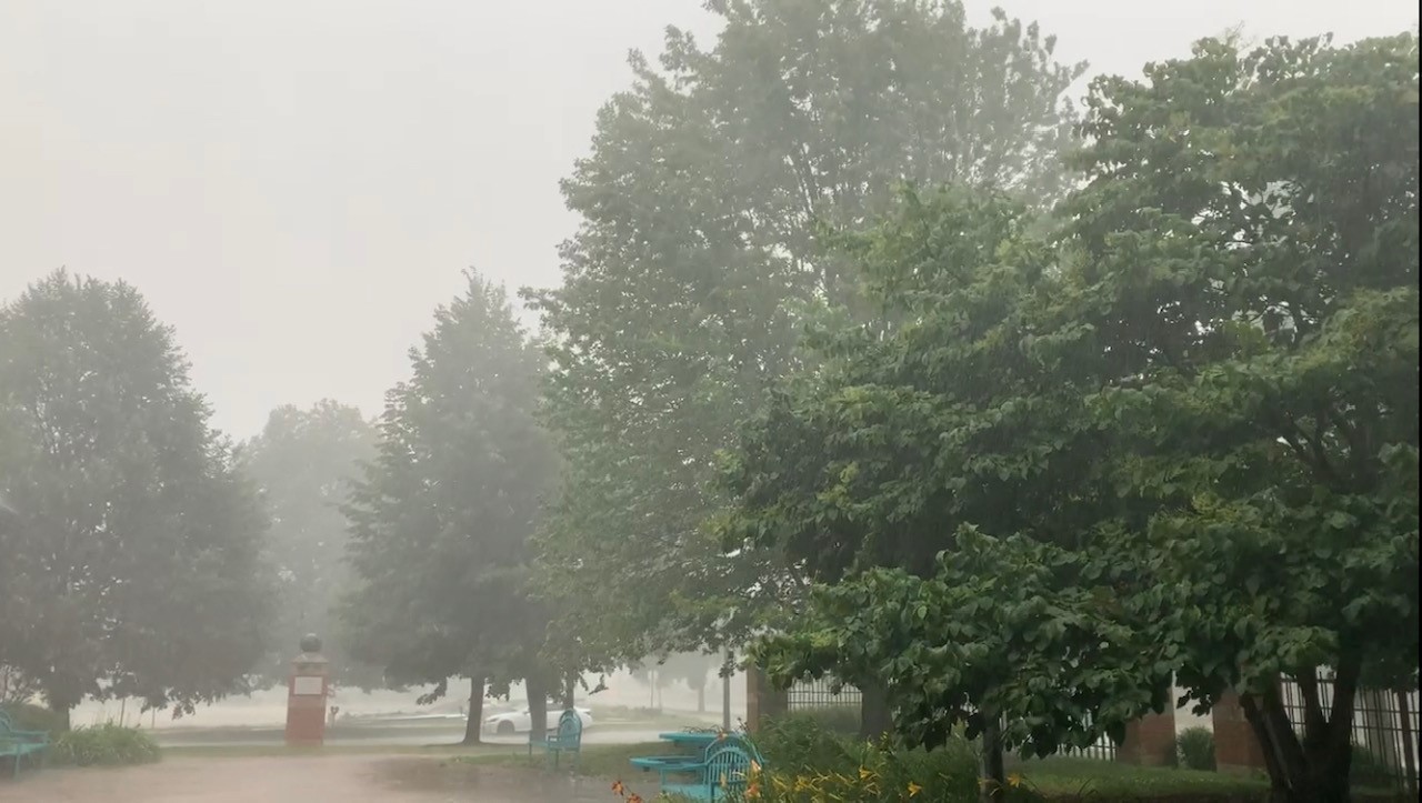
Illinois Public Media News is monitoring a threat of severe storms on Wednesday that is forecasted by the National Weather Service in Central Illinois and other meteorologists. Tornadoes, high winds, and large hail are possible in East Central Illinois. We will update this post with the latest forecast information. Updated Wednesday at 4:00 p.m. Forecasters
Updated Saturday at 10:15 p.m. This post will be updated as new forecasts are posted. CHAMPAIGN – On Saturday afternoon and evening, meteorologists are predicting much of Central Illinois will see freezing rain and icy roadways. The National Weather Service in Central Illinois has issued a Winter Weather Advisory from 12:00 p.m.-9:00 p.m. on Saturday.