

Illinois Public Media News is monitoring a threat of severe storms on Wednesday that is forecasted by the National Weather Service in Central Illinois and other meteorologists. Tornadoes, high winds, and large hail are possible in East Central Illinois. We will update this post with the latest forecast information.
Updated Wednesday at 4:00 p.m.
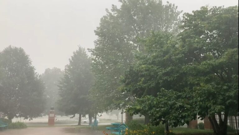
Forecasters say the threat of severe weather originally forecasted for Central Illinois has greatly reduced. Meteorologist Andrew Pritchard tracks weather for the Champaign-Urbana area. He says today’s cool, heavy rain kept intense thunderstorms from forming. The National Weather Service says areas south of Interstate 70 could still see wind gusts around 75 miles per hour this afternoon.
The severe threat is now less likely across central Illinois. (Q) What happened? (A) Excessive cloud cover and ongoing thunderstorms have led to more stable atmospheric conditions than originally anticipated. Severe storms require an unstable atmosphere. #cILwx pic.twitter.com/l31iRxBdd4
— NWS Lincoln IL (@NWSLincolnIL) April 13, 2022
Updated Wednesday at 12:40 p.m.
As of noon, the National Weather Service in Central Illinois says the risk of severe weather still exists but the intensity has been downgraded.
[Afternoon Update] – Here's the latest probabilities for severe weather today. This represents the chance of a specific weather type within 25 miles. Areas within the dashed white lines have the best chances for more damaging severe weather. pic.twitter.com/iWjJPznk3r
— NWS Lincoln IL (@NWSLincolnIL) April 13, 2022
Here's the latest update on Today's severe weather risk, which has been downgraded. The potential for severe weather still exists, but coverage and intensity now look less menacing. Still, be sure to check back for further updates as the atmosphere rapidly evolves this afternoon. pic.twitter.com/SHZJXrGmB8
— NWS Lincoln IL (@NWSLincolnIL) April 13, 2022
Updated Wednesday at 4:30 a.m.
CHAMPAIGN – The National Weather Service in Lincoln is still expecting a possible severe weather outbreak this afternoon in Central and Southern Illinois. Meteorologists are forecasting possible tornadoes and high winds (with gusts up to 75-miles-per-hour) east of I-55 starting around 2:00 p.m. Wednesday. However, Chambana meteorologist Andrew Pritchard says the severe weather risk remains quite uncertain across central Illinois as of Wednesday morning. He says it may have decreased over time with more in the way of rain/storms early in the day limiting the unstable atmospheric conditions that would lead to widespread severe weather over Champaign-Urbana. Pritchard does plan to track the storms on Wednesday afternoon for WILL-AM 580 and FM 90.9, especially if Severe Thunderstorm Warnings or Tornado Warnings are issued.
Updated Wednesday at 4:00 a.m.
3:27 am — Latest severe weather probabilities from the 1 am update from @NWSSPC. #ILwx pic.twitter.com/Tlj2KjXD2j
— NWS Lincoln IL (@NWSLincolnIL) April 13, 2022
3:15 am — No significant change in today's outlook. Severe weather threat remains level 3-4 (enhanced to moderate risk) in our area. #ILwx pic.twitter.com/FvpDgjBhgd
— NWS Lincoln IL (@NWSLincolnIL) April 13, 2022
Updated Tuesday at 7:15 p.m.
SEVERE WEATHER remains in the forecast on Wednesday. The primary time frame for strong storms to move across central Illinois is between 1 PM and 7 PM on Wednesday afternoon and evening. All hazards will be possible including widespread damaging winds & possibly a few tornadoes. pic.twitter.com/QRuj4fKfAC
— Chambana Weather (@ChambanaWX) April 12, 2022
Updated Tuesday at 3:15 p.m.
Updated severe weather outlook for 4/13/2022 includes upgrade to Moderate Risk south of I-70. Tornadoes, damaging wind, and hail possible for central and southern IL during the afternoon and evening. #ILwx pic.twitter.com/xnoP0WoIAK
— NWS Lincoln IL (@NWSLincolnIL) April 12, 2022
The time to review your weather safety plan is NOW. Severe weather expected Wednesday afternoon – have a plan in place for work, home, school, or if on the road! #ILwx pic.twitter.com/PsO8kGjr1P
— NWS Lincoln IL (@NWSLincolnIL) April 12, 2022
Updated Tuesday at 9:00 a.m.
The National Weather Service Storm Prediction Center placed Central Illinois, including Champaign-Urbana, Danville, and Decatur under an Enhanced Risk (3 out of 5) for severe weather on Wednesday afternoon-evening. The potential for tornadoes that are rated EF-2 or higher, with 115-157 mile per hour winds, is highest in an area that includes Champaign, Macon and Vermilion Counties and southward. Damaging winds up to 75 miles per hour also remain a major threat.
A breakdown of the specific severe weather hazards expected on Wednesday. #ILwx pic.twitter.com/K0Tq9zIK0Q
— NWS Lincoln IL (@NWSLincolnIL) April 12, 2022
Enhanced Risk of severe weather (level 3 of 5) for Wednesday continues, with the latest outlook from @NWSSPC. #ILwx pic.twitter.com/3btVYIKbOj
— NWS Lincoln IL (@NWSLincolnIL) April 12, 2022
Severe weather is still expected Wednesday, April 13 during the afternoon and evening. Prepare for the storms ahead of time! Have a plan to receive warnings and seek safe shelter before storms approach. #ILwx pic.twitter.com/QyF9mVYVOL
— NWS Lincoln IL (@NWSLincolnIL) April 11, 2022