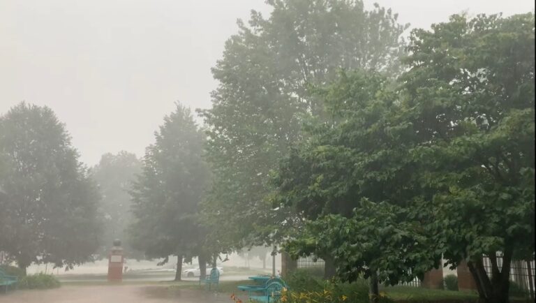
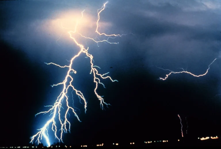
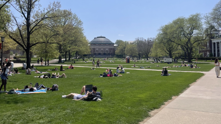
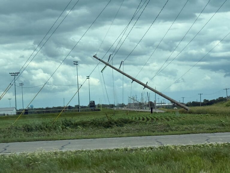
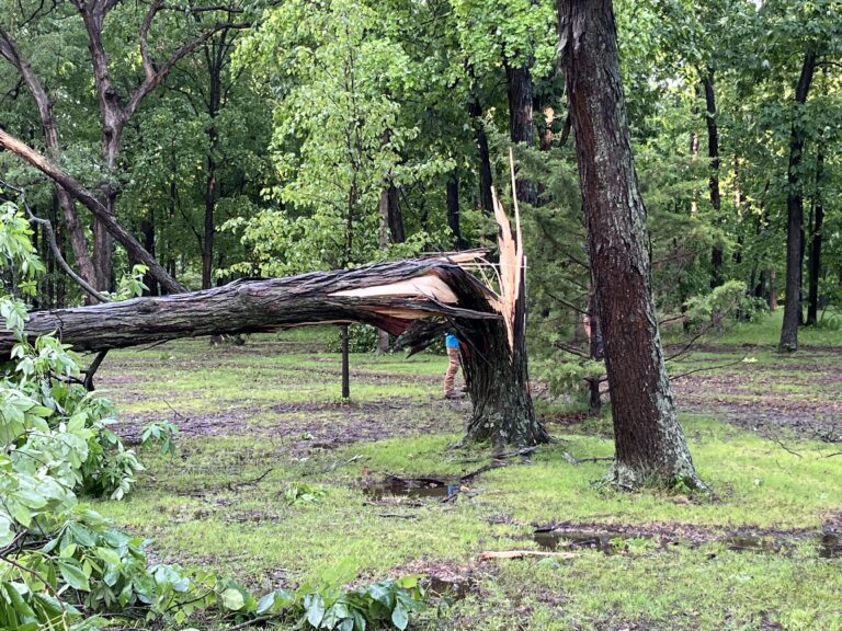
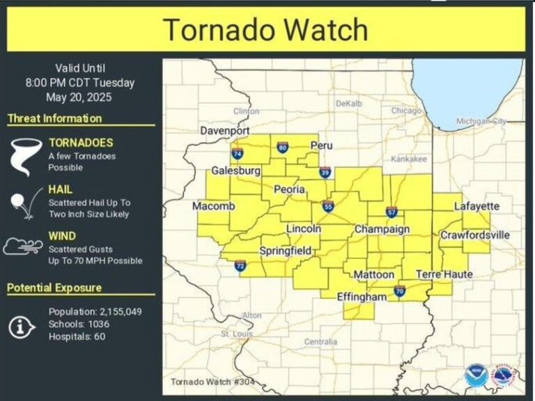
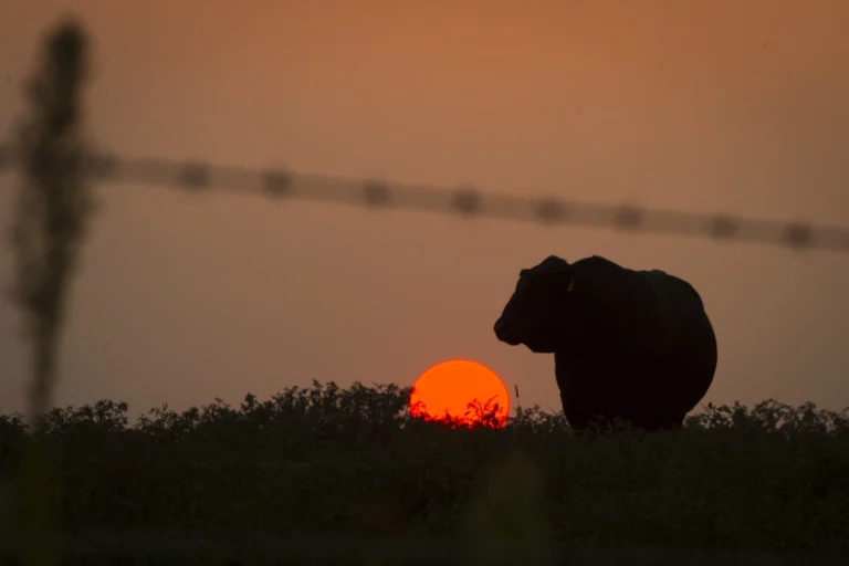
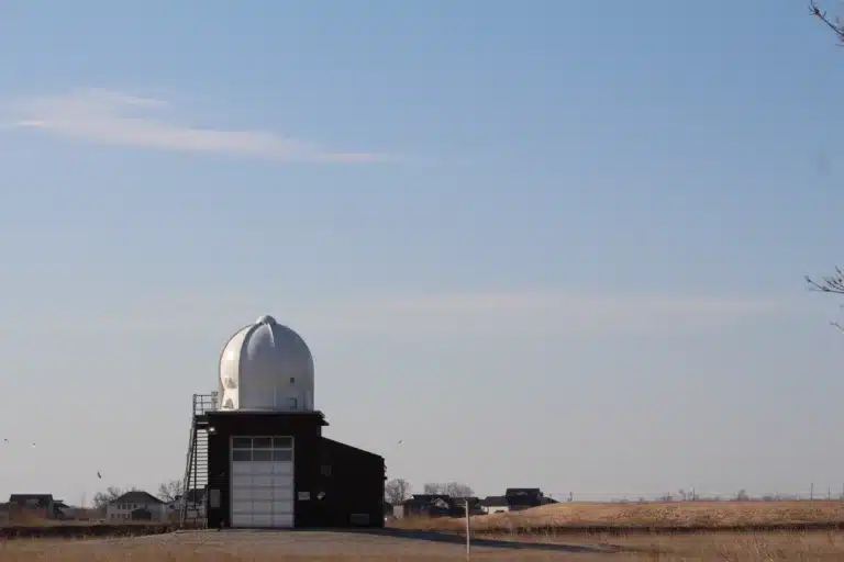
Midwest states east of ‘tornado alley’ are bearing the brunt of severe storm season. Here’s why
Tornadoes have killed 68 people in the U.S. in 2025, with the majority of those deaths in Kentucky and Missouri.
Daytime temperatures will top the 90’s but with high humidity it will feel like 100 to 105 degrees outside.
Summer officially kicks off Friday, June 20, and with it, will come higher temperatures and humidity, which can be hazardous to both human health and agricultural ecosystems.
The Tornado Watch expired at 4 p.m., but there were numerous reports of power outages as well as some damage to structures and buildings as well as knocked down trees around Central Illinois.
Tornado warnings were issued at different times Tuesday afternoon in Champaign, De Witt, Macon, Piatt and Vermilion counties.
Expected hazards: Wind gusts over 60 mph, hail 1 to 2 inch diameter, and isolated tornadoes possible.
All six U.S. regional climate centers will remain online through a new contract deadline in mid-June.
National Weather Service offices across the country are suspending or reducing weather balloon flights due to low staffing. Meteorologists say the loss of data could lead to forecasting challenges and less accurate long-term outlooks.
A flood watch is in effect through Sunday morning for portions of central and east central Illinois, including Shelby, Coles, Douglas, Edgar and Moultrie Counties.
Meteorologists say the storm started in southwest Champaign County an ended south of the University of Illinois Willard Airport.
Severe storms possible Sunday afternoon and early evening.
Rain showers this evening will mix with and change to snow overnight.
Residents are surveying damage from unusually vicious weather in multiple U.S. states where violent twisters, blinding dust storms and fast-moving wildfires decimated entire neighborhoods.
A dangerous line of thunderstorms is forecast to move through central Illinois between 8 pm and 1 am tonight. Potential hazards include 75+ mph straight-line winds, EF-2+ tornadoes, and 2″+ diameter hail.
Very cold temps will grip the region this week with night time wind chills well below zero tonight through Thu night.