

Updated Thursday at 11:00 p.m.
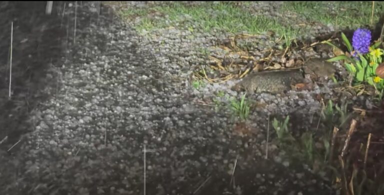
According to the National Weather Service, half-dollar-sized hail fell in parts of Urbana. Earlier, ping-pong-sized hail was reported in parts of Vermilion County. No tornadoes were reported. But a 49-mile-per-hour wind gust was reported at the Rantoul Airport.
Updated Thursday at 6:50 p.m.
From IPM meteorologist Andrew Pritchard: ping pong ball sized hail reported north of Danville with that storm. Radar indicates there may be even larger hail with that storm, about to move into Indiana. Quarter size hail reported in the storm near Rantoul. Both storms are moving east at 50 mph. Take cover if you are in the path of these storms!
Updated Thursday at 5:22 p.m.
A severe thunderstorm watch has been issued for Champaign County and surrounding areas, according to the National Weather Service. Reports of golf ball size hail have already been reported in Bloomington. The Thunderstorm Watch will remain in effect until 11 p.m.
Radar time 503 PM: Getting reports of quarter sized hail and possibly up to golf ball hail in Bloomington with this storm. It is moving east at 50 mph. Take shelter if you are in the path of the storm! #ILwx pic.twitter.com/MKhKUDbC18
— NWS Lincoln IL (@NWSLincolnIL) March 26, 2026
A severe thunderstorm watch has been issued and will remain in effect until 11 pm. The primary threats are large hail to 2" and damaging winds to 70-75 mph. Tornadoes are possible, with up to EF2 intensity in play. Remain alert for warnings and be prepared to take shelter. #ILwx pic.twitter.com/UXB7bxQ52i
— NWS Lincoln IL (@NWSLincolnIL) March 26, 2026
Updated Thursday at 3:23 p.m.
After severe storms tonight, cold temperatures are expected on Friday.
There remains a significant threat of severe weather across much of central Illinois later today, especially this evening. The highest risk (level 3 of 5) extends from about Peoria and Springfield eastward. Continue to monitor the weather today, especially this evening. #ILwx pic.twitter.com/iaulw6Z8Bh
— NWS Lincoln IL (@NWSLincolnIL) March 26, 2026
Strong to severe storms this evening will give way to a sharply colder day on Friday. A hard freeze is likely Friday night north of I-72. Saturday and Sunday look dry with a warming trend. Rain chances return Monday night and Tuesday as high temps climb into the 80s. #ILwx pic.twitter.com/dzZoHnd82S
— NWS Lincoln IL (@NWSLincolnIL) March 26, 2026
Updated Thursday at 1:30 p.m.
In the latest update, IPM News meteorologist says that warm weather will continue through the afternoon. Storms are expected to begin in between 5-6 p.m. and last until 9 p.m. for Champaign County. Large hail remains the biggest risk.
Updated Thursday at 7:15 a.m.
From IPM meteorologist Andrew Pritchard:
Much of the day today will be warm and breezy but otherwise quiet. Look for scattered storms to develop to our north late this afternoon and evening as a cold front approaches the area. A few strong to severe storms are possible across the area this evening into the first half of the overnight, or between roughly 6:00 p.m. and midnight. Large hail is the primary expected hazard with severe storms locally, but isolated instances of damaging winds and a tornado or two can’t be ruled out. Behind the cold front we turn much colder tomorrow and Saturday, but mild and stormy spring weather returns next week.
Updated Wednesday at 9:30 p.m.
From National Weather Center in Central Illinois: With forecast high temperatures in the mid to upper 80s for Thursday, daily record highs will be falling over most of the region. A level 2 & 3 risk of severe weather remains in place across most of central and southeast Illinois for Thursday. While some of this may occur late in the afternoon near and north of I-74, the best risk of severe weather will be in the evening. With any storms that remain discrete from each other, very large hail and tornadoes will be possible.