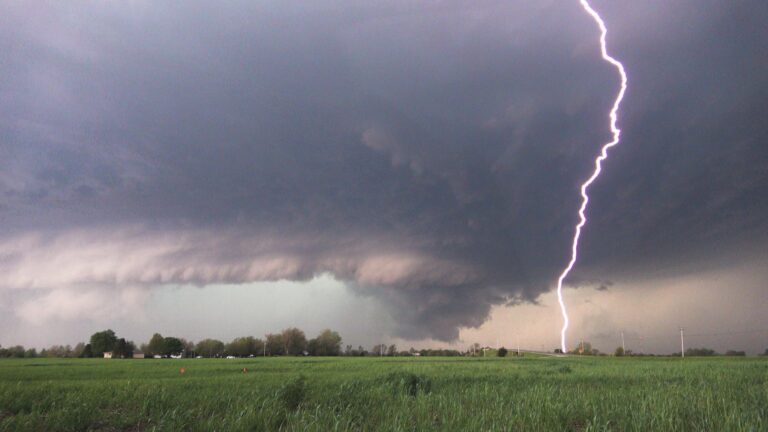
Illinois Public Media News is monitoring severe storms forecasted for Central Illinois on March 31-April 1. This post will be updated with information from the National Weather Service in Lincoln and Chambana Weather meteorologist Andrew Pritchard.
From Meteorologist Andrew Pritchard, severe weather is expected to impact Central Illinois Friday evening, with the highest risk of significant wind damage and potential tornadoes between 5:00-9:00 p.m. You’re advised to plan to receive weather alerts quickly. WILL-AM 580 will provide updates throughout the evening.
Friday 11:15 p.m. update
Belvidere, IL – Authorities said a theater roof collapsed during a tornado in Belvidere, Illinois, killing one person and injuring 28. The Belvidere Police Department said the collapse occurred as a heavy storm rolled through the area and that calls began coming from the theater at 7:48 p.m. It said that an initial assessment was that a tornado had caused the damage. The collapse occurred at the Apollo Theatre during a heavy metal concert in the town located about 70 miles (113 kilometers) northwest of Chicago. Belvidere Fire Department Chief Shawn Schadle said 260 people were in the venue at the time. Click here to read more about this story and other tornadoes across the Midwest. – Associated Press
Friday 9:00 p.m. update
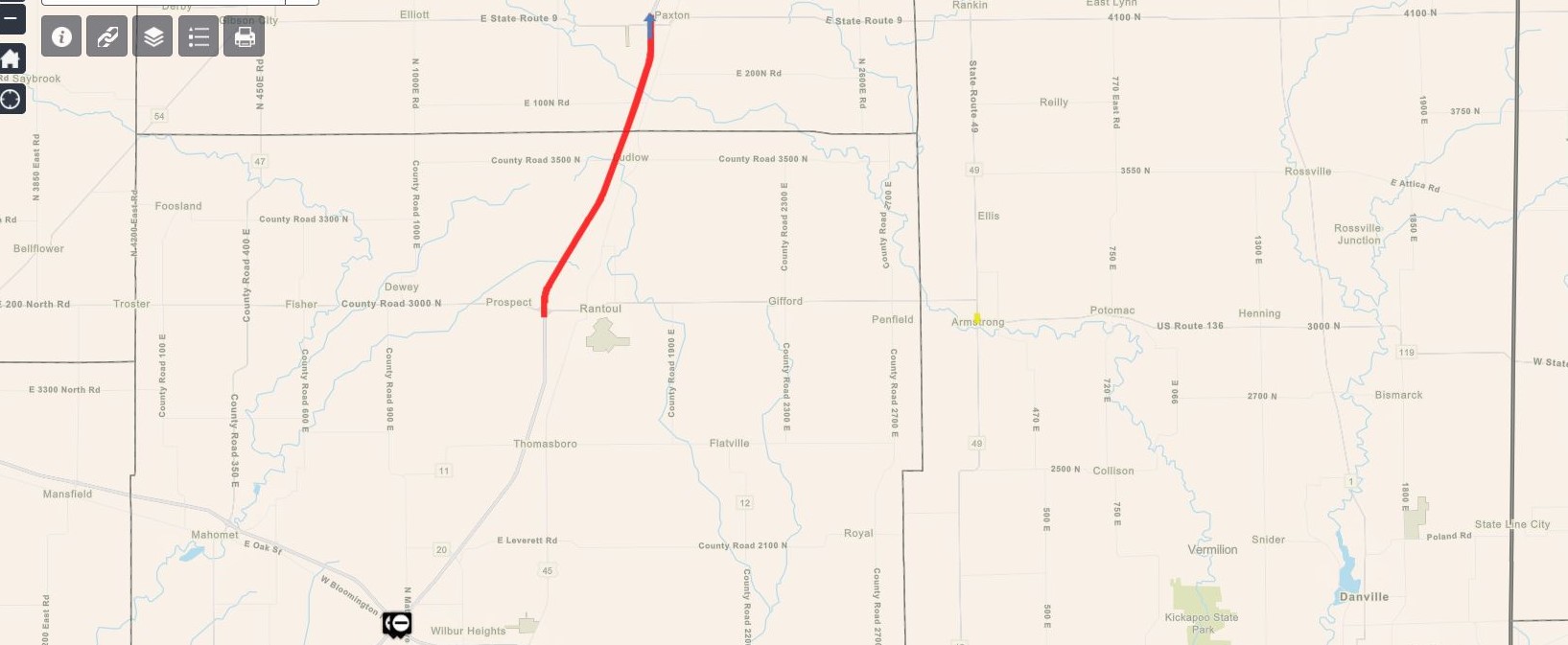
Because of a possible tornado earlier tonight, Rantoul Police confirm I-57 is closed between Rantoul and Ludlow due to multiple wrecks. Illinois State Police Lt. Mark Holley also confirms the highway is closed between Paxton and Rantoul. Southbound traffic is exiting at Paxton and can take 45 South to Rt 136 and back on S/B 57 or Route 9 W/B to 47 S/B to I-74. The closure will last several hours.
ISP also says US 136 is closed between Champaign County 1000E and 1100E for weather-related issues. This closure will last several hours. Drivers are urged to avoid these areas and seek an alternate route.

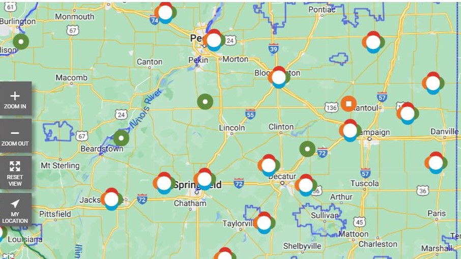
Also, Friday at 9:00 p.m., Ameren Illinois reports more than 28,500 customers without power, including 2,200 in Champaign-Urbana area. Click here to access the outage map.

Here is the Friday 7:00 p.m. update from Steve Morck and Meteorologist Andrew Pritchard, tracking the storms in Central Illinois.
TGIF! I am becoming increasingly concerned about the potential for multiple rounds of severe storms tracking through central Illinois this afternoon into tonight, with the potential for significant wind damage, large hail, and a few tornadoes. My thoughts… pic.twitter.com/D3PGWGWJpX
— Chambana Weather (@ChambanaWX) March 31, 2023
I would not be shocked to see today's moderate risk and higher tornado probabilities extended southeast to include much more of the state of Illinois based on overnight trends from high-resolution guidance, displaying potential for multiple rounds of long-lived supercells. pic.twitter.com/YFHxCMu61o
— Andrew Pritchard (@skydrama) March 31, 2023
There's an elevated chance we could see a few severe storms producing strong winds and isolated tornadoes on Friday evening across central Illinois – more on that in a separate post later today. #ilwx #uiuc #chambana
— Chambana Weather (@ChambanaWX) March 30, 2023

