

MATTOON – Prairie Research Institute dedicated its latest climate monitoring station Tuesday afternoon, its first in Coles County.
This is the twentieth station the institute has launched as part of the Illinois Climate Network, which started operating in the 1980s.
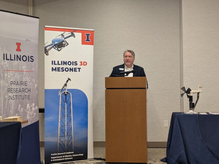
“These stations save lives. They educate students,” University of Illinois Urbana-Champaign atmospheric science professor Kelvin Droegemeier said. “They help emergency managers. They help farmers and ranchers.”
The Coles County station was made possible by The Lumpkin Family Foundation.
“Since funding this project, we’ve seen a sharp increase in some severe weather here in Illinois, 145 tornadoes so far in 2026, making it the state with the highest tornado count in the nation for the third consecutive year,” Local Programs Officer Christina Krost said.
The station will provide real-time weather and soil data – information not previously available in Coles County – used by agricultural producers, landscapers, engineers, educators, researchers, weather forecasters and local governments.
It’s located on a private farm, whose owner was using data collected by the station in Champaign, 50 miles away, Prairie Research Institute Water and Atmospheric Resources Monitoring Program Manager Jennie Atkins said.
“When we reached out to him, he was excited to have a station that is close to him, so this station is right next to his fields and right next to his neighbor’s fields,” she said. “So it’s no longer this is the soil temperature in Champaign. He knows the exact soil temperature in Coles County.”
The station will collect current and long-term data on air temperatures, wind speed and direction, precipitation, soil temperature, soil moisture and other parameters.
The Illinois Climate Network is infrastructure just as important as roads and bridges, Prairie Research Institute Deputy Director Marc Miller said.
“Communities make better decisions when they have the other important piece of infrastructure, which is knowledge and information,” he said, “and so with that, the information we’re going to be able to provide with this station are going to help us prepare for severe weather, for flooding, for droughts.”
Researchers at the Prairie Research Institute and the University of Illinois Department of Climate, Meteorology and Atmospheric Sciences have big plans to expand the network soon.
“We have big ambitions. Suppose you take these kinds of sites, and you put instead of 20, we actually build it out to 100 across the state of Illinois,” Droegemeier said. “Think about the impact that that would have.”
And they want to add drones to the stations that will collect atmospheric data every hour.
“We see ourselves pioneering this concept, which the National Weather Service is extraordinarily interested in,” Droegemeier said, “because they want to take this nationwide and replace the balloon network – the balloons that go up and down every 12 hours – they want to replace it with drones.”
He hopes the project will receive federal funding to complete phase one – adding 15 more stations across the state with a drone on one or more, he said.
“We get money from the federal government to maintain monthly maintenance on the current Illinois Climate Network,” Droegemeier said, “and they have committed to providing similar sort of maintenance and operations funding to the mesonet [the network of automated weather stations] of as we build it out.”
If the federal funding for construction comes through, the team is ready to start the expansion immediately, he said.