Programs that provide drought relief to farmers use the U.S. Drought Monitor to determine eligibility, but some experts say it doesn’t always capture local conditions.
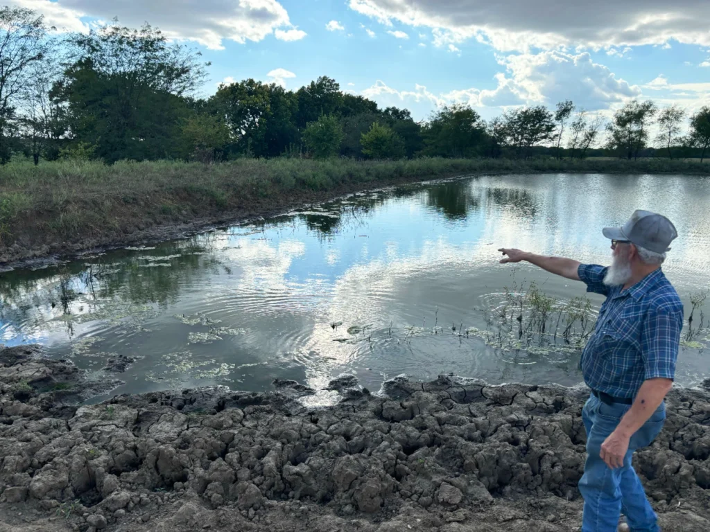
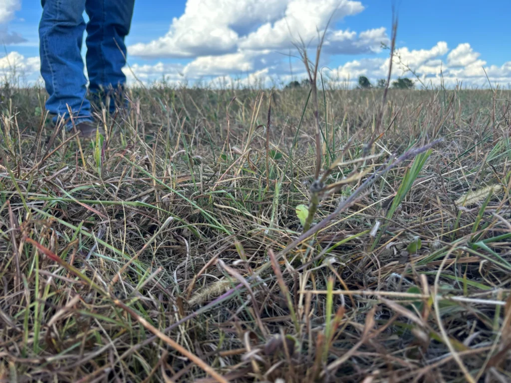
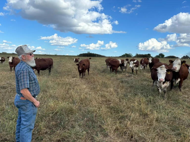
On a recent fall day, as Wilburn Harris did the rounds on his cattle farm in the Missouri town of Drexel, he was met with brown grass, cracked soil and half-empty ponds.
He was used to it. Last year’s drought was so bad, he had to haul water and hay to his farm to keep the animals fed and watered.
Payments totalling nearly $11,000 from the federal Livestock Forage Disaster Program, or LFP, helped him hold on to his 70 cattle.
“If it hadn’t been for [the Livestock Forage Disaster Program], I’d probably got rid of a bunch of them,” he said. “I’d have had to.”
Things were going better this year, until September, when Cass County, where he’s located, was classified as being in severe drought. Around that time, a third of the American Midwest was also in drought.

Since 1999, the U.S. Drought Monitor has quantified drought across the country. By using dozens of different data inputs and the consultation of hundreds of experts and stakeholders, Drought Monitor authors produce an updated map every week that ranks drought conditions county by county on a scale of D0 to D4, with D4 being the worst.
The U.S. Drought Monitor’s website states that it doesn’t “recommend using it to infer specifics about local conditions.” However, many farmers rely on it to tell the government when local conditions require support from federal programs.
One of those is the LFP. Under the LFP, livestock producers are eligible for some relief if a part of their county reaches at least D3, or “extreme” drought, on the monitor for any amount of time or is classified as being in D2, or “severe” drought, for eight consecutive weeks.
Because this bout of severe drought began so late in the year for many Midwest states, it could mean that some people who relied on drought relief programs last year won’t be eligible for them this year.
That’s why some experts who work directly with farmers say the policy is flawed.
Missouri State Climatologist Zack Leasor is involved in the process of developing the Drought Monitor. While he thinks the Drought Monitor is a good, scientific tool for depicting drought, he said the policies that determine when emergency relief kicks in may be prone to leaving farmers out to dry.
For one, there’s the issue of how long drought must be reflected on the Drought Monitor for eligibility to star“You can think of hypothetical situations where this could go wrong,” Leasor said. “Seven weeks of no rain is going to completely deplete your pasture. But let’s say a tropical system comes in in week eight, dumps a bunch of rainfall, and you’re not going to get that D2 drought designation. Does that mean that you still didn’t have seven weeks of no grazing and having to purchase hay?”
The second issue is the monitor’s resolution. While the makers of the Drought Monitor try to reflect accurate drought conditions, they can’t always capture everything at a neighborhood or farm scale.
“And so I’m sure there’s been farmers that have had some pastures that have been in horrible shape, and they’ve missed out, unfortunately,” Leasor said.
Harris said conditions on his farm had been bad for about a month before the Drought Monitor reflected D2 conditions, and he’s had to supplement his livestock’s nutrition more than normal.
“In August, it quit raining and everything’s burnt up,” he said.
The science behind the monitor
The Drought Monitor was created years before the relief programs that use it existed and experts at the Drought Monitor weren’t consulted about how it should be applied to policy.
Brian Fuchs, one of about a dozen Drought Monitor authors, thinks that’s a good thing “because there’s a good separation between policy and science.”
Fuchs has worked at the National Drought Mitigation Center since 2005. That means he’s worked with the Drought Monitor before and since it was first used as a metric for the LFP, which was formalized and funded through the 2008 Farm Bill. Before that, there was limited relief for livestock farmers.
“It kind of validated the first eight, nine years of the Drought Monitor at that point,” he said. “I think it basically was saying, ‘Hey, we know that this is a useful tool, we know that there’s a lot of good science behind it, there’s nothing else like it, and we’re going to start using it in an official capacity.’”
Fuchs said some of the gripes with the program come from misconceptions about the Drought Monitor.
For example, the Drought Monitor isn’t automated or made from scratch each week.
“Folks fail to realize that it’s not a model, that there are humans that are manually moving these lines around, that we don’t do a complete redraw every week,” he said.
Each author of the Drought Monitor is in charge of the map for four to six weeks each year and for typically two weeks at a time before handing it off to the next author.
When it’s his turn, Fuchs said the first step is familiarizing himself with the previous week’s map and the conversation around it. Around 500 people are talking about the weekly production in an email list server, which he calls an “instantaneous peer review.” Fuchs will also read the three to five pages of notes left behind by the previous week’s author and pay attention to any changes they made to the monitor.
Next, Fuchs will look at dozens of data sources and consult experts to make decisions about where the “convergence of evidence” suggests there should be changes to the map.
“You’d be surprised how many people feel that the Drought Monitor is just rain,” he said. It’s not. The data includes inputs like precipitation, streamflow, and soil moisture.
“We’re trying to identify drought, and where dryness is being enhanced, over different periods of time,” he added.
Fuchs said people also have misconceptions about what the LFP relief money is for.
“It isn’t going to be during every single drought,” he said. “It isn’t going to be when there’s even problems related to drought, but the worst of the worst droughts.”
Grassroots reporting
If stakeholders think the drought monitor is missing something, they can report what they’re seeing on the ground.
Iowa State Climatologist Justin Glisan said he receives calls from farmers weekly that the monitor doesn’t reflect conditions on their farms.
“So what I like to do – I’m a one-person-shop, so it’s hard to do sometimes – but actually get out, field scout, go to these locations to get a feel for what our producers are seeing and then try to get an accurate depiction of this on the Drought Monitor map,” Glisan said.

A formal way of chronicling on-the-ground observations is the National Drought Mitigation Center’s Condition Monitoring Observer Reports, or CMOR system. It allows people to send in photos of real-world conditions that appear in a database and interactive map.
Reagan Bluel, a field specialist in dairy with University of Missouri Extension, works with farmers and urges them to send in observations, even when there isn’t drought.
“When they submit the baseline [photo], that allows us to better assess the severity of the drought when they submit the drought one,” she said. “And so for the last probably four years, we’ve been working on marching around the state to make sure everybody knows about that website and how easy it is to submit it from the smartphone, so that we can more rapidly declare the drought levels.”
She said the effort has produced a noticeable change in the Drought Monitor’s responsiveness for some areas.
“You can tell which counties have innovative agriculturalists in it versus the ones that are still a little old school with flip phones,” she said. “Because the Drought Monitor is more responsive for those innovative, progressive-type producers.”
Fuchs said the Drought Monitor is always trying to improve. “We don’t put blinders up and we don’t close our ears,” he said.
Anyone, not just farmers, can send in pictures and observations of drought conditions at go.unl.edu/cmor_drought.
Meanwhile, one of Leasor’s suggestions for federal aid is a more case-by-case system, where farmers can apply for drought relief even if their counties’ drought levels don’t meet specific criteria. One reason for that is that drought’s impacts aren’t always straightforward. For example, there are economic consequences that can be seen in crop prices even outside drought areas, Leasor said.
“[Drought is] kind of this abstract climate hazard to try and measure the impacts, and so that’s why maybe some more flexibility would be helpful,” Leasor said.
That system might have qualified Wilburn Harris for some relief. But just a week after the Drought Monitor labeled all of Cass Country in severe drought, some rain dropped, and the county went into D1, squashing hopes of federal assistance for him.
He was happy about the rain. But experts like Fuchs say flash droughts, which are droughts that develop or intensify quickly, are becoming more common and federal policies aren’t stepping in to help when they happen at D2 levels. That makes Harris worried about the future.
“Trying to adapt to the unknown is getting to be a challenge for me,” he said. “I just can’t imagine some of the things we have to do and the cost that takes to do them.”
This story is a product of the Mississippi River Basin Ag & Water Desk, an independent reporting network based at the University of Missouri in partnership with Report for America, with major funding from the Walton Family Foundation.

