

The National Weather Service in Central Illinois has issued a Winter Weather Advisory for Champaign, Edgar and Vermilion Counties for Monday from 2:00-9:00 a.m. Meteorologists expect 2 to 3 inches of snow and winds gusting as high as 35 mph. Morning drivers are warned that bridges and overpasses may be slick and hazardous.
The National Weather Service in Chicago has issued a Winter Weather Advisory for Ford, Iroquois and much of the Chicagoland area from now until Monday at noon. Slippery travel conditions are expected due to lake enhanced snow with snowfall totals between 1 and 5 inches.
Click here for the latest road conditions from the Illinois Dept. of Transportation.
Monday morning forecast from Meteorologist Andrew Pritchard:
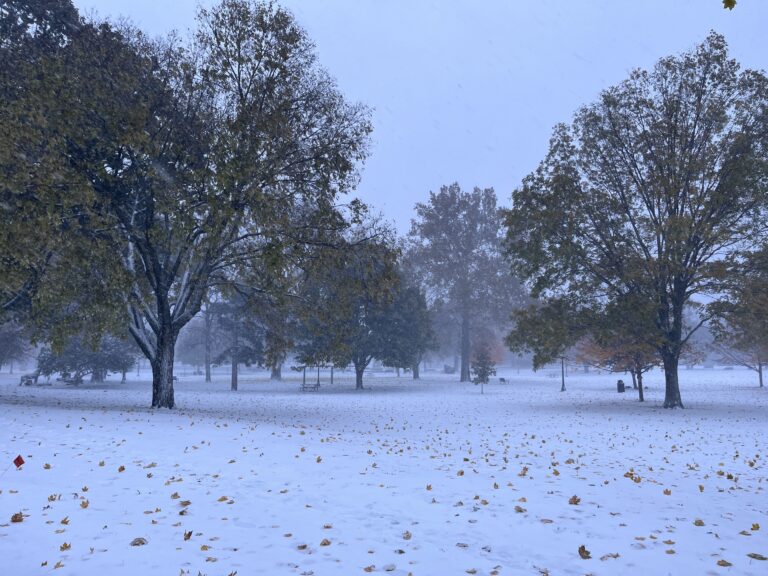
ANDREW PRITCHARD: A Winter Weather Advisory is in effect for Champaign County and surrounding portions of East Central Illinois until 9:00 on Monday morning. An intense band of lake-effect snow delivered a quick coating of snow and blustery winds to the region overnight, with some areas seeing an inch or two of accumulation. Strong northwest winds gusting to 40 miles per hour, along with continued falling and blowing snow will create dangerous travel conditions through the morning, especially in rural areas. Conditions will improve on Monday afternoon, as snow and gusty winds begin to fade with warmer temperatures returning to Central Illinois through the rest of the week. For Illinois Public Media news, I’m meteorologist Andrew Pritchard.