This is a severe weather blog for June 27, 2021. It will be updated throughout the afternoon.
Updated at 5:58 p.m.
5:55 pm — While not severe, numerous storms are occurring from near Decatur to Champaign south to Effingham. The storm coming into Champaign in particular has a lot of lightning with it. #ILwx pic.twitter.com/jySASQxaj5
— NWS Lincoln IL (@NWSLincolnIL) June 27, 2021
Updated at 5:00 p.m.
We're not out of the woods yet, with additional rainfall forecasted through the middle of the week, but here's a running total of how much rain has fallen over the past 72 hrs. Remember to never drive across a flooded roadway. You could lose your vehicle and/or your life. #ILwx pic.twitter.com/7RkiJRoNVy
— NWS Lincoln IL (@NWSLincolnIL) June 27, 2021
4:15 pm — Showers and thunderstorms continue to increase over east central and south central Illinois. #ILwx pic.twitter.com/qgS4fyaSct
— NWS Lincoln IL (@NWSLincolnIL) June 27, 2021
Updated at 12:15 p.m.
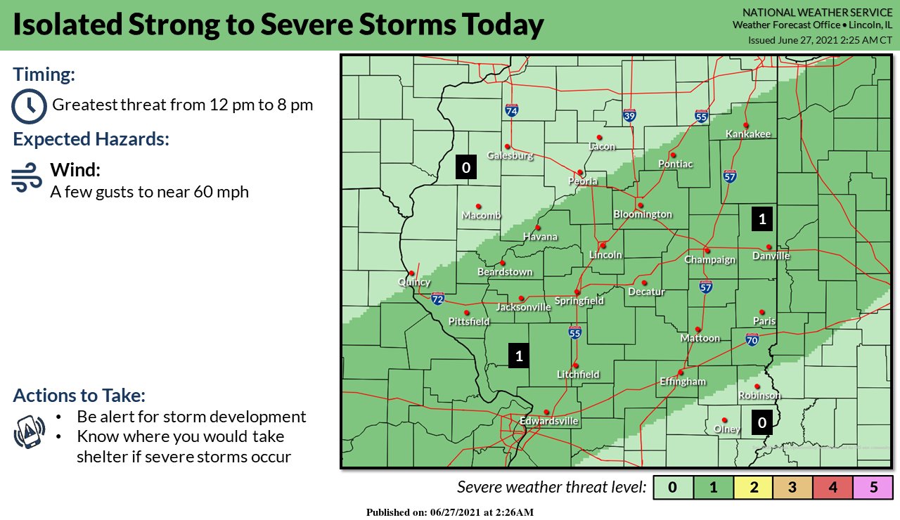
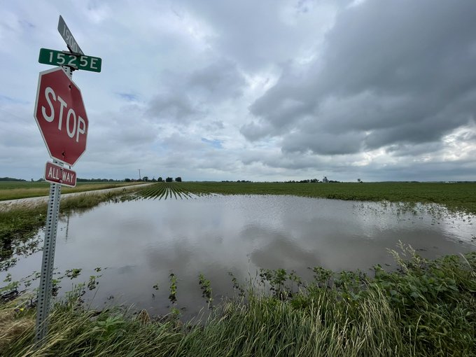
For the third straight day, the National Weather Service in Central Illinois is predicting strong to severe thunderstorms for the Champaign-Urbana area and surrounding communities. Storms on Friday evening and Saturday afternoon produced multiple small tornadoes and flooding rains. Meteorologists forecast the Sunday afternoon-evening storms could be strong to severe with damaging wind gusts the primary hazard. Locally heavy rain is also possible.
[12:00 PM] Thunderstorms are expected to develop soon across central Illinois. Some storms may be strong-to-severe with localized damaging wind gusts to 60 mph. #ILwx pic.twitter.com/OxzAlyiEfb
— NWS Lincoln IL (@NWSLincolnIL) June 27, 2021


